Other
The following section covers topics that cannot be assigned to any of the other chapters, but which also provide interesting insights into what is going on in the individual communities.
Municipal finance
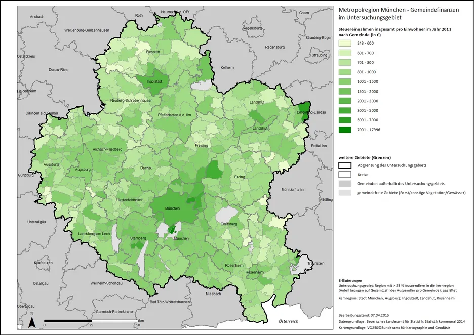
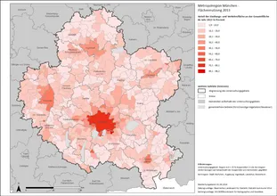
The following map shows the tax revenue per inhabitant in 2013, which is made up of property tax, trade tax and the municipal share of income tax and sales tax. The range here is from €248 to €17,996 per person, which means that there are very large differences between the municipalities. The municipalities with the lowest revenues are all located in very rural areas, where there are fewer businesses and utilities. By far the highest revenues are in the municipality of Grünwald on the southern outskirts of Munich, with around €18,000 per inhabitant. The revenues of the second-placed city of Dingolfing are already significantly lower at around €6,600 per inhabitant. While Dingolfing and Ingolstadt are likely to benefit from the large automotive companies located there, the proximity to Munich Airport is evident in the communities of Oberding and Hallbergmoos. Apart from this, the financially strong communities are clustered around Munich. The state capital itself ranks 14th with around €2,370 per inhabitant.
Tourism
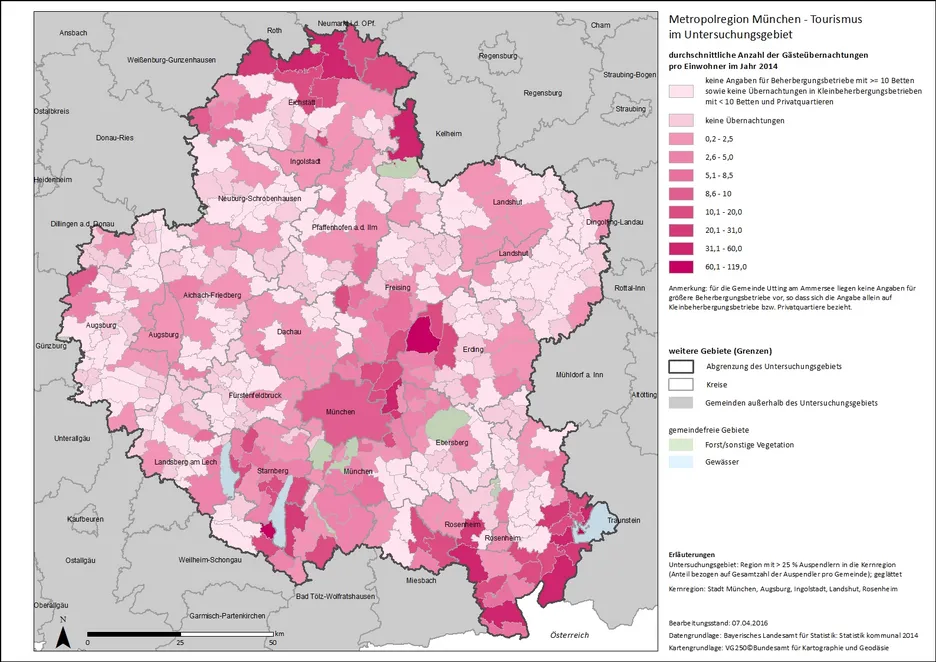
Many areas of the study region are also very popular with tourists. The front-runners with up to 119 overnight stays per inhabitant in 2014 are the areas on the edge of the Alps in the south and the Franconian Alb with Altmühl in the north. These scenic areas offer many recreational opportunities for mountain and nature lovers. The neighboring communities on Chiemsee, Starnberger See and Ammersee are also very popular. The high number of overnight stays by guests in the communities between Freising and Erding, led by the community of Oberding, can largely be attributed to the immediate proximity to Munich Airport. City tourism is also present in all the larger towns. As expected, the highest absolute visitor numbers are in the state capital of Munich, with around 13.5 million overnight stays by guests in 2014. The surrounding area also benefits from Munich's popularity as a travel destination - especially at Oktoberfest time, when all available accommodation in Munich itself has long been fully booked.
Development of settlement and transport area
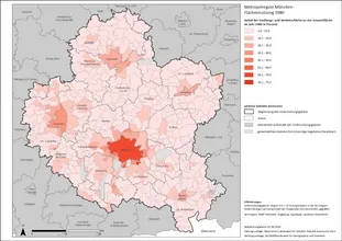
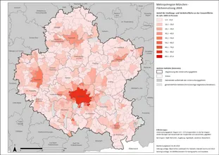
In the last chapters, much has been said about the differences between urban and rural municipalities. In addition to the number of inhabitants, the share of settlement and transport area is also a good indicator of the degree of urbanization and how the municipal area is used. The first set of maps shows the share of settlement and transport area in the total area in 1980 (Map 1), 2004 (Map 2) and 2013 (Map 3). It is easy to see how even the large cities are becoming more densely populated and increasingly spilling out into the surrounding areas.
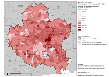
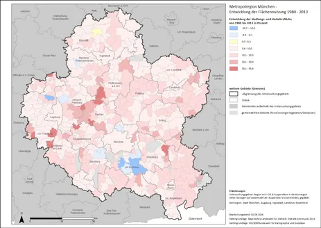
Looking at percentage growth between 1980 and 2013 (Map 4), we see that infrastructure increased by at least 30% in 90% of communities, and by more than 50% in 60% of communities. The large increases in rural communities likely reflect, in part, the continued expansion of transportation areas, with large-scale transportation projects standing out particularly prominently. For example, the construction of the new airport in the northeast of Munich brought growth rates of up to 447% to the affected communities (see Map 4). A more recent example is the communities of Oberottmarshausen, Kleinaitingen, Graben, Obermeitingen and Hurlach in the district of Augsburg, through which the new, two-lane routing of the B17 has been running since 2009. Such more recent developments since 2004 stand out more clearly on Map 5.
Both maps also show negative values. While in some municipalities there has actually been a decrease in settlement and traffic area, in others, on the other hand, the municipal area has been expanded.
